


Tú hevur ongar yndis enn
Her kanst tú savna íblástur, greinar, tiltøk og støð, sum tú hevur áhuga fyri.
Trýst á ikonið á síðurnar, so koma tær fram her.
Tínir yndis
Íblástur & Greinir
Tiltøk & Túrar
Støð
Bygdagøtur
Leita
Leitingarúrslit
INSPIRATIÓNIR & ARTIKLAR
Read More
TILTØK & GONGUTÚRAR
Read More
Støð
Read More
Argir - Kirkjubøur


Link Copied!

-
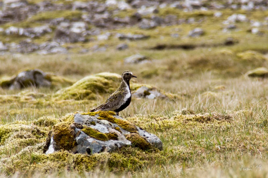 On the trip there is a good chance that you will see some of the birds that breed in the field. This beautiful golden plover was just south of Rangagil. Photo: Óli Gardshodn
 -
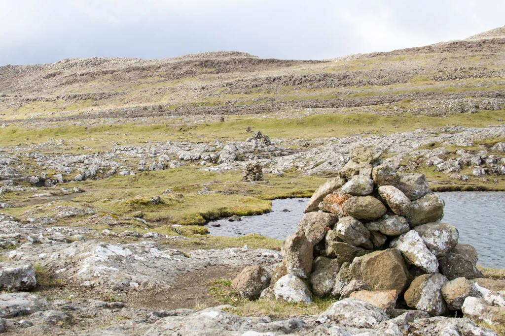 View from the tarn Klingrutjørn up towards the mountain Kirkjubøreyn. Photo: Óli Gardshodn
 -
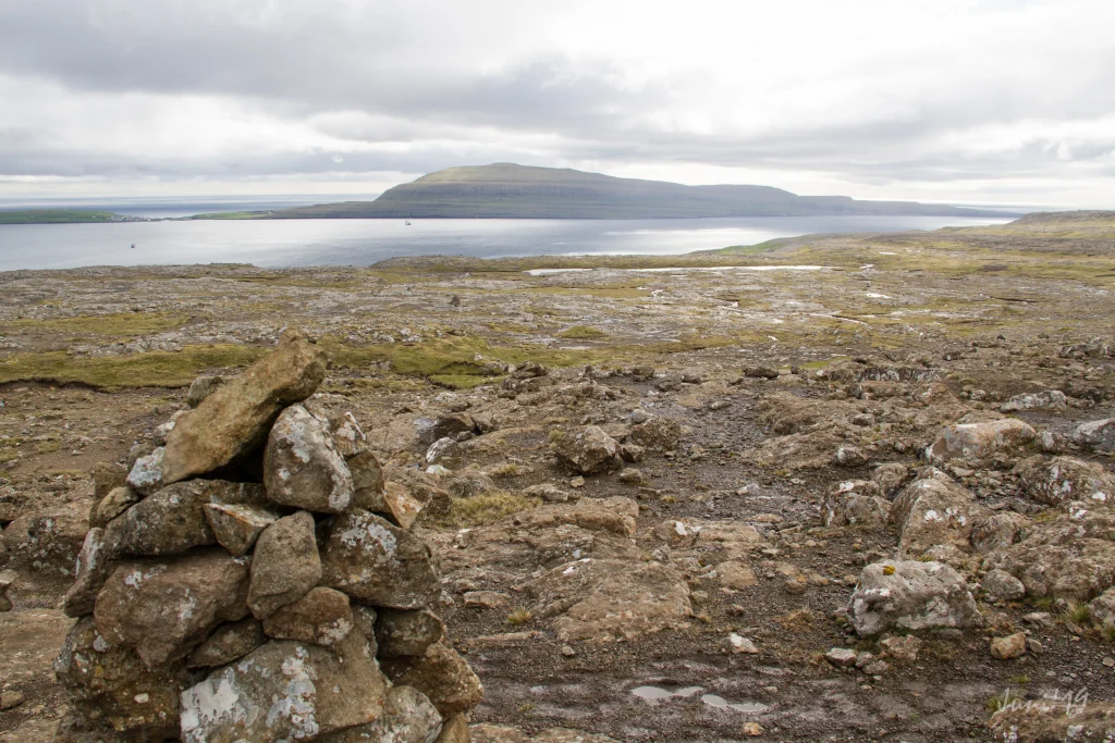 The view below the pass Álvaskarð towards the island of Nólsoy. Photo: Óli Gardshodn
 -
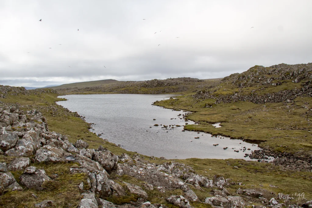 Up by the tarn Porkerisvatn it is beautiful and cozy. This is a great place to enjoy the moment with a cup of coffee. Photo: Óli Gardshodn
 -
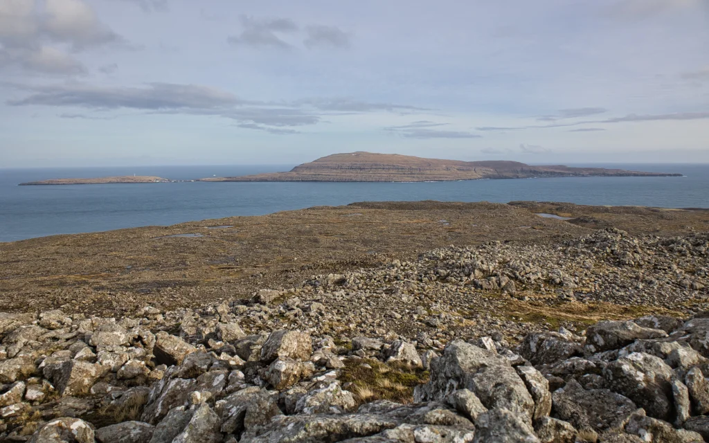 View from the tarn Porkerisvatn towards the island Nólsoy. Photo: Óli Gardshodn
 -
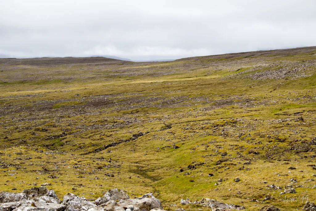 View south of the tarn Porkerisvatn, over the rill Rangagil and south on the mountain Kirkjubøkambur (306 m.), Which we see in the background to the left in the picture. The village path goes right south over the wide pass in the middle of the picture which is just above Kirkjubø. Photo: Óli Gardshodn
 -
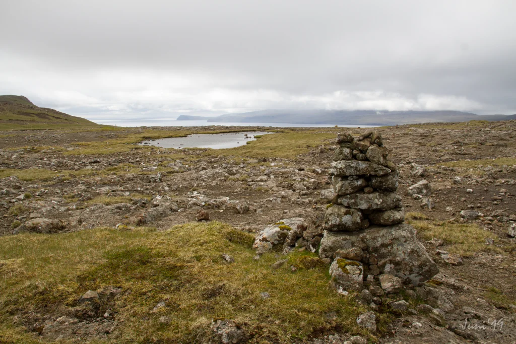 Up on the wide pass just above the village of Kirkjubø. Photo: Óli Gardshodn
 -
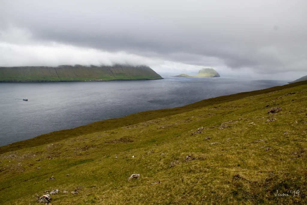 View up from the wide pass over Kirkjubø west over the islands Koltur, to the left in the picture, and Koltur, to the right in the picture. Photo: Óli Gardshodn
 -
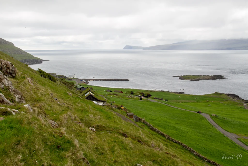 Kirkjubøur. Photo: Óli Gardshodn


-
On the trip there is a good chance that you will see some of the birds that breed in the field. This beautiful golden plover was just south of Rangagil. Photo: Óli Gardshodn
-
View from the tarn Klingrutjørn up towards the mountain Kirkjubøreyn. Photo: Óli Gardshodn
-
The view below the pass Álvaskarð towards the island of Nólsoy. Photo: Óli Gardshodn
-
Up by the tarn Porkerisvatn it is beautiful and cozy. This is a great place to enjoy the moment with a cup of coffee. Photo: Óli Gardshodn
-
View from the tarn Porkerisvatn towards the island Nólsoy. Photo: Óli Gardshodn
-
View south of the tarn Porkerisvatn, over the rill Rangagil and south on the mountain Kirkjubøkambur (306 m.), Which we see in the background to the left in the picture. The village path goes right south over the wide pass in the middle of the picture which is just above Kirkjubø. Photo: Óli Gardshodn
-
Up on the wide pass just above the village of Kirkjubø. Photo: Óli Gardshodn
-
View up from the wide pass over Kirkjubø west over the islands Koltur, to the left in the picture, and Koltur, to the right in the picture. Photo: Óli Gardshodn
-
Kirkjubøur. Photo: Óli Gardshodn
Sjáldsamt, vættrakent lendi við góðum útsýni út á Hestfjørð
Hetta er ein vøkur og heldur sjáldsom farleið við grýtutum lendi, nógvum klettum og summastaðni næstan mánakendum umhvørvi. Eisini verður gingið fram við vakra Porkerisvatni, har tað er upplagt at steðga á eina løtu at njóta umhvørvi. Tað sigst, at William Heinesen, kendi føroyski rithøvundurin og listamaðurin, hevur fingið nógvan íblástur til sínar tekningar frá sínum gongutúrum her á Kirkjubøreyni. Kendu tekningarnar av trøllum sigast m.a. hava íblástur hiðani.


Argir - Kirkjubøur
Kirkjubøur - Argir
Argir - Kirkjubøur
There is excellent parking at Barnagarðin (nursery) in Argir—refer to the green lines. Once you are parked, reference the blue lines to indicate the start of the route.

Kirkjubøur - Argir
Excellent parking in the open area close to the harbour/church; from there, it is a 900-meter walk to the gate where the route starts – see the green line.

Argir - Kirkjubø
Kirkjubøur - Argir
Argir - Kirkjubø
Kirkjubøur - Argir
Fakta

Tíð

longd

Hægsta stað

Hæddarmetrar
 Suitable for children. Slightly rocky and gravelly from Argir to Rangagil.
 Medium
- Much of the route is rocky and unclear, so a GPX file is essential. Cairns are present but unreliable, as some are “false” and off the original path.
Medium
- Much of the route is rocky and unclear, so a GPX file is essential. Cairns are present but unreliable, as some are “false” and off the original path.
 Easy to walk, gravelly in specific areas such as between Argir and Rangagil

Líknandi gongutúrar
Øki / Torleikastig

 Avbjóðandi
 10 km /
2t
20m
10 km /
2t
20m

 4 km /
1t
4 km /
1t


